Autumn Rain Across the Country for the Next Two Days... Seoul Metropolitan Area to Receive Over 80mm
Concentrated Rainfall Expected in Central Regions Tomorrow as Low-Pressure System Passes... Occasional Rain Over the Weekend
Up to 30-80mm in West Coast of Chungnam & Honam, 20-60mm in Gangwon, Chungcheong, Busan, Ulsan, Gyeongnam by Day After Tomorrow
 Autumn scenery in the mid-mountainous region of Jeju (Jeju=Yonhap News) Reporter Park Ji-ho = On the morning of the 23rd, when the weather was clear, workers were moving round compressed hay bales using equipment in the grassland in Geumak-ri, Hallym-eup, Jeju City, in the mid-mountainous region. 2025.9.23 jihopark@yna.co.kr
Rain is expected to continue intermittently until the weekend.
According to the Korea Meteorological Administration on the 23rd, rain will fall on and off in Jeju today.
Late tonight, raindrops will begin to fall on the southern coast. In the late hours of the 24th, rain will start in the western coastal areas of Chungnam and Jeonbuk, and by the morning of the 24th, the rain will spread to other parts of the country.
The rain will continue until the dawn of the 25th in Seoul, Incheon, northern Gyeonggi Province, and northern Gangwon Province; until the morning of the 25th in southern Gyeonggi Province and central and southern Gangwon Province; and until the night of the 25th in Chungcheong, southern provinces, and Jeju.
Occasional rain will continue in Honam, southern Gyeongbuk, Gyeongnam, and Jeju on the 26th.
Warm and humid air will be carried by counter-clockwise winds from the high-pressure system located east of Korea, causing precipitation to begin in Jeju and along the southern coast. Subsequently, a low-pressure system passing north of Korea will cause the rain to spread nationwide.
After the low-pressure system passes, cold air descending from the northwestern high-pressure system and warm, humid air rising from the southeastern high-pressure system will collide, forming a stationary front and leading to continuous precipitation.
Between the morning and night of the 24th, as the low-pressure system passes north of Korea, central regions may experience hourly rainfall of 20-30mm. Between the dawn and morning of the 25th, when a stationary front and a low-pressure system develop over the West Sea, heavy rain with hourly rainfall of 30-50mm is expected in the western coastal areas of Chungnam and western Jeonbuk, so preparations should be made.
Expected precipitation until the 25th is as follows: 30-80mm in the West Sea Islands, western coastal areas of Chungnam, and Honam (over 100mm in the West Sea Islands, western coastal areas of Chungnam, Jeonbuk, and northwestern Jeonnam); 20-60mm in the Seoul Metropolitan Area, inland Gangwon, mountainous areas of Gangwon, Daejeon, Sejong, inland Chungnam, Chungbuk, Busan, Ulsan, and Gyeongnam (over 80mm in the Seoul Metropolitan Area, inland northern Gangwon, and inland Chungnam); 10-60mm in Jeju; 10-40mm in Daegu, Gyeongbuk, Ulleungdo, and Dokdo; 5-20mm along the eastern coast of northern Gangwon; and around 5mm along the eastern coast of central and southern Gangwon.
This weekend, another trough will pass north of Korea, with rain expected on Saturday the 27th in the afternoon in Chungnam and Honam, and on Sunday the 28th in the morning nationwide. If the trough passes further north or moves faster than expected, it may rain in the Seoul Metropolitan Area on the 27th.
Afterward, most areas will be clear under the influence of a high-pressure system. However, the southern regions, including the southern coast, are expected to be cloudy or rainy due to the influence of the stationary front.
Temperatures will remain similar to average seasonal temperatures (lows 11-18 degrees Celsius, highs 22-26 degrees Celsius) until next week.
After the 29th, as Korea comes under the influence of a high-pressure system and the weather clears, morning temperatures will drop to a chilly level. In autumn, when the weather is clear, radiative cooling is active at night, leading to lower morning temperatures. Yonhap News

 Iranian Foreign Ministry: "Continuing Message Exchanges with the U.S. and Activities of Mediating Countries"
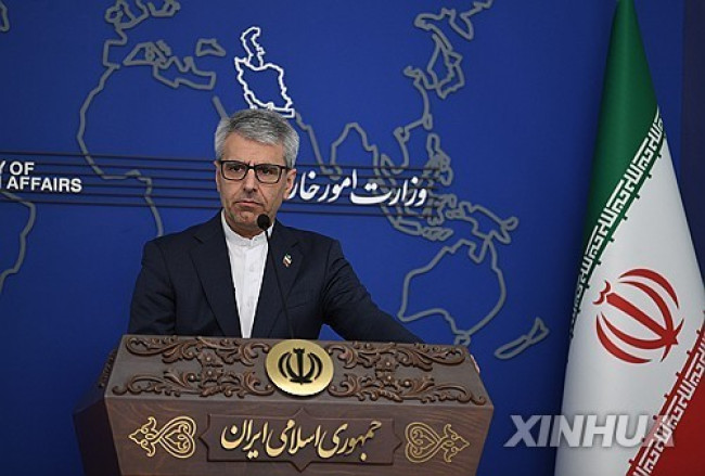
Esmaeil Baghaei, Spokesperson for the Iranian Ministry of Foreign Affairs [Xinhua, Yonhap News file photo]Esmaeil Baghaei, spokesperson for the Iranian Ministry of Foreign Affairs, stated on the 26th
Iranian Foreign Ministry: "Continuing Message Exchanges with the U.S. and Activities of Mediating Countries"
Esmaeil Baghaei, Spokesperson for the Iranian Ministry of Foreign Affairs [Xinhua, Yonhap News file photo]Esmaeil Baghaei, spokesperson for the Iranian Ministry of Foreign Affairs, stated on the 26th
 President Yoon: "Do You Think You Are Safe from the Special Counsel?"... Final Statement Video Released
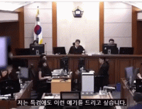
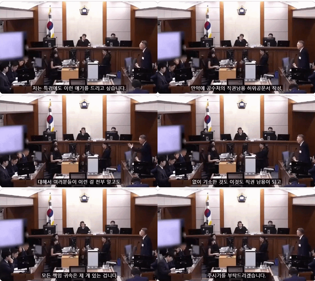
President Yoon Suk Yeol rebuking the special prosecutor on the 24th. [Court video / @birds_justice X account subtitle GIF] A video of President Yoon Suk Yeol's closing statement at his trial rega
President Yoon: "Do You Think You Are Safe from the Special Counsel?"... Final Statement Video Released
President Yoon Suk Yeol rebuking the special prosecutor on the 24th. [Court video / @birds_justice X account subtitle GIF] A video of President Yoon Suk Yeol's closing statement at his trial rega
 President Yoon, regarding the first-instance ruling on the Public Official Election Act: “An excessive political verdict that distorts the facts… We will appeal immediately.”
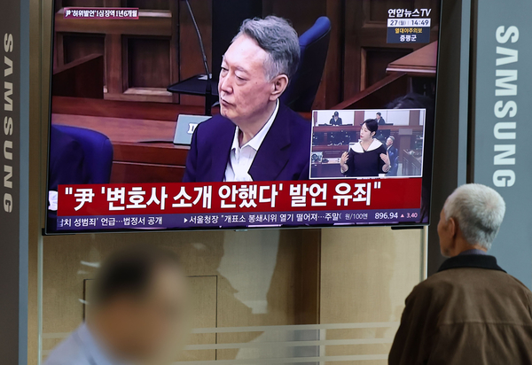
The first-instance sentencing hearing for President Yoon Suk Yeol regarding violations of the Public Official Election Act is being broadcast live at Seoul Station on the 27th. [Photo=Yonhap News]Pres
President Yoon, regarding the first-instance ruling on the Public Official Election Act: “An excessive political verdict that distorts the facts… We will appeal immediately.”
The first-instance sentencing hearing for President Yoon Suk Yeol regarding violations of the Public Official Election Act is being broadcast live at Seoul Station on the 27th. [Photo=Yonhap News]Pres
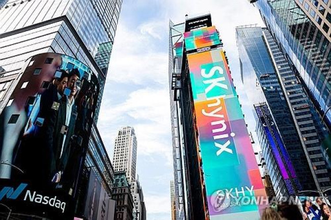 WSJ: "SK Hynix ADR Premium Is a Sign of AI Trading Overheat"
Advertisement for SK Hynix ADR listing in New York's Times Square [Reuters=Yonhap News file photo]The Wall Street Journal (WSJ) has pointed out that the price of SK Hynix’s American Depositary Recei
WSJ: "SK Hynix ADR Premium Is a Sign of AI Trading Overheat"
Advertisement for SK Hynix ADR listing in New York's Times Square [Reuters=Yonhap News file photo]The Wall Street Journal (WSJ) has pointed out that the price of SK Hynix’s American Depositary Recei
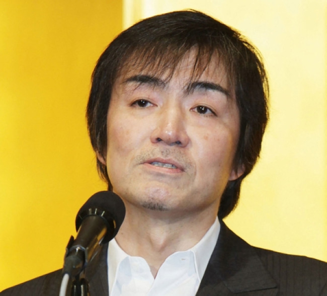 'Godfather of Japanese Mystery Novels' Keigo Higashino Passes Away After Battle with Cancer at 68
Famous Japanese mystery novelist Keigo Higashino [AFP=Yonhap News]It has been belatedly reported that Keigo Higashino, the "godfather of Japanese mystery novels" and author of bestsellers such as "The
'Godfather of Japanese Mystery Novels' Keigo Higashino Passes Away After Battle with Cancer at 68
Famous Japanese mystery novelist Keigo Higashino [AFP=Yonhap News]It has been belatedly reported that Keigo Higashino, the "godfather of Japanese mystery novels" and author of bestsellers such as "The
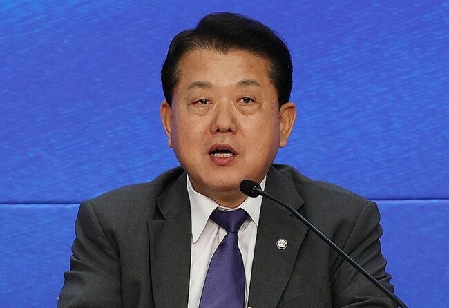 [Park Pil-kyu Security Column] To the Ignorant Trying to Clothe a Beast in Sheep's Clothing
Rep. Kim Byung-joo of the Democratic Party of Korea [Photo=Yonhap News]“The Air Force Academy doesn't teach you how to fly a plane!” “The Army, Navy, and Air Force academies are exactly the
[Park Pil-kyu Security Column] To the Ignorant Trying to Clothe a Beast in Sheep's Clothing
Rep. Kim Byung-joo of the Democratic Party of Korea [Photo=Yonhap News]“The Air Force Academy doesn't teach you how to fly a plane!” “The Army, Navy, and Air Force academies are exactly the
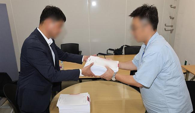 [Issue Diagnosis] Two Effects of the Election Petition Review
 [Photo] Evidence of Election Fraud Flooding U.S. Media… Trump Had 2.7 Million Votes Stolen
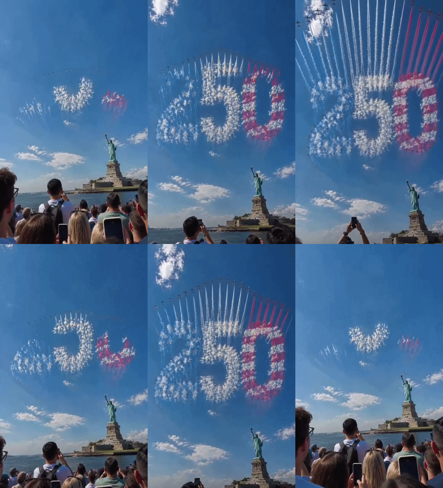 [Video] U.S. Semiquincentennial Air Show... 'Art in the Sky' streaks across New York
 [Editorial Cartoon] A Draconian Law That Undermines Freedom of Expression

 List
List