Rain Forecast Next Week, But Heat Wave to Continue for At Least Five More Days
Rain Expected in Jeju on the 4th, with Sultry Heat to Persist Due to "Hot and Humid South Winds"
On the 6th, Dry Air Descends and Collides with Hot and Humid Air, Raising Possibility of "Heavy Rainfall" in Central Regions
 Korea Covered in Heat Wave Warnings (Seoul=Yonhap News) Reporter Kim Sung-min = On the 30th, as the heat wave continues, a monitor at the Korea Meteorological Administration in Dongjak-gu, Seoul, displays areas under heat wave advisories. Red indicates a heat wave warning, and yellow indicates a heat wave advisory. 2025.7.30 ksm7976@yna.co.kr
The heat wave is expected to continue for at least five more days.
According to the Korea Meteorological Administration on the 31st, two high-pressure systems, separated from the main bodies of the North Pacific High and the Tibetan High, are layered over Korea. Hot and humid southerly winds are blowing, causing extreme heat, particularly in northwestern regions including Seoul.
A change in the weather pattern is anticipated around August 4th.
Typhoon Krosa (No. 9), currently located southeast of Tokyo, Japan, is expected to move northeast, clearing the way for the high-pressure systems covering Korea to also shift northeast at that time.
However, the heat wave is not expected to subside from August 4th onwards.
This is because southerly winds carrying a large amount of moisture will be introduced due to the changes in the weather patterns.
Consequently, rain is expected in Jeju and broadly in parts of western regions including Honam and Chungcheong. While temperatures may slightly decrease, the high humidity will keep the perceived temperature from dropping.
A change in the situation is anticipated around August 6th.
The North Pacific High, which had contracted to the southeast of Japan, will expand westward again, sending hot and humid air towards Korea. Simultaneously, dry air will descend from the north, causing a collision of these two different air masses and leading to significant rainfall, primarily in the central regions.
As a result, temperatures are expected to decrease somewhat.
Seoul's afternoon high temperature forecast shows it remaining at 36 degrees Celsius until August 2nd, dropping to 35 degrees on the 3rd-4th, then to 34 degrees on the 5th, and further down to around 33 degrees from the 6th to the 8th.
Of course, the heat will not completely disappear.
Due to the continuous influx of hot and humid air, the perceived temperature will be higher than the actual temperature.
If the dry air from the north descends with more strength than anticipated, rain may also occur in the southern regions, and the rainy period could extend to the 7th.
The issue is the potential for "dangerous levels" of heavy rainfall on the 6th-7th.
Due to the ongoing heat wave, the surface temperature of the Yellow Sea is around 30 degrees Celsius, 1-4 degrees higher than the average for this time of year.
Consequently, the amount of water vapor supplied by the southwesterly winds blowing from the Yellow Sea towards Korea is expected to be substantial.
The Korea Meteorological Administration explained that some numerical forecast models predict heavy rainfall as the large amount of water vapor carried by the southwesterly winds collides strongly with the dry air coming from the north. Yonhap News

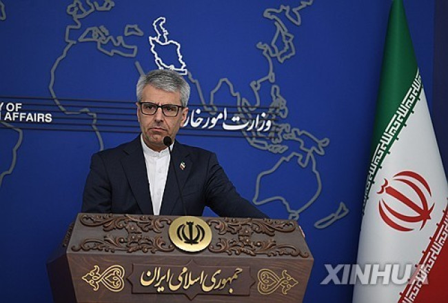 Iranian Foreign Ministry: "Continuing Message Exchanges with the U.S. and Activities of Mediating Countries"
Esmaeil Baghaei, Spokesperson for the Iranian Ministry of Foreign Affairs [Xinhua, Yonhap News file photo]Esmaeil Baghaei, spokesperson for the Iranian Ministry of Foreign Affairs, stated on the 26th
Iranian Foreign Ministry: "Continuing Message Exchanges with the U.S. and Activities of Mediating Countries"
Esmaeil Baghaei, Spokesperson for the Iranian Ministry of Foreign Affairs [Xinhua, Yonhap News file photo]Esmaeil Baghaei, spokesperson for the Iranian Ministry of Foreign Affairs, stated on the 26th
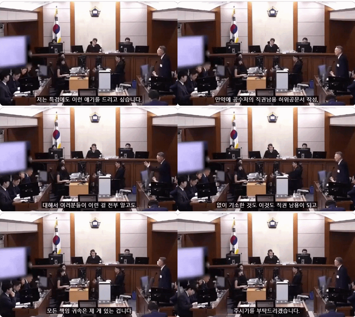 President Yoon: "Do You Think You Are Safe from the Special Counsel?"... Final Statement Video Released
President Yoon Suk Yeol rebuking the special prosecutor on the 24th. [Court video / @birds_justice X account subtitle GIF] A video of President Yoon Suk Yeol's closing statement at his trial rega
President Yoon: "Do You Think You Are Safe from the Special Counsel?"... Final Statement Video Released
President Yoon Suk Yeol rebuking the special prosecutor on the 24th. [Court video / @birds_justice X account subtitle GIF] A video of President Yoon Suk Yeol's closing statement at his trial rega
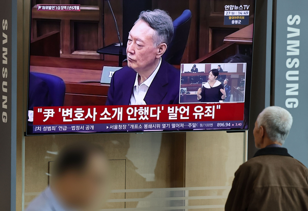 President Yoon, regarding the first-instance ruling on the Public Official Election Act: “An excessive political verdict that distorts the facts… We will appeal immediately.”
The first-instance sentencing hearing for President Yoon Suk Yeol regarding violations of the Public Official Election Act is being broadcast live at Seoul Station on the 27th. [Photo=Yonhap News]Pres
President Yoon, regarding the first-instance ruling on the Public Official Election Act: “An excessive political verdict that distorts the facts… We will appeal immediately.”
The first-instance sentencing hearing for President Yoon Suk Yeol regarding violations of the Public Official Election Act is being broadcast live at Seoul Station on the 27th. [Photo=Yonhap News]Pres
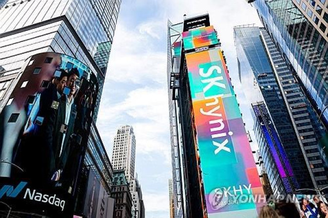 WSJ: "SK Hynix ADR Premium Is a Sign of AI Trading Overheat"
Advertisement for SK Hynix ADR listing in New York's Times Square [Reuters=Yonhap News file photo]The Wall Street Journal (WSJ) has pointed out that the price of SK Hynix’s American Depositary Recei
WSJ: "SK Hynix ADR Premium Is a Sign of AI Trading Overheat"
Advertisement for SK Hynix ADR listing in New York's Times Square [Reuters=Yonhap News file photo]The Wall Street Journal (WSJ) has pointed out that the price of SK Hynix’s American Depositary Recei
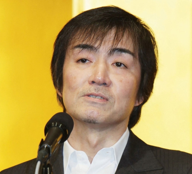 'Godfather of Japanese Mystery Novels' Keigo Higashino Passes Away After Battle with Cancer at 68
Famous Japanese mystery novelist Keigo Higashino [AFP=Yonhap News]It has been belatedly reported that Keigo Higashino, the "godfather of Japanese mystery novels" and author of bestsellers such as "The
'Godfather of Japanese Mystery Novels' Keigo Higashino Passes Away After Battle with Cancer at 68
Famous Japanese mystery novelist Keigo Higashino [AFP=Yonhap News]It has been belatedly reported that Keigo Higashino, the "godfather of Japanese mystery novels" and author of bestsellers such as "The
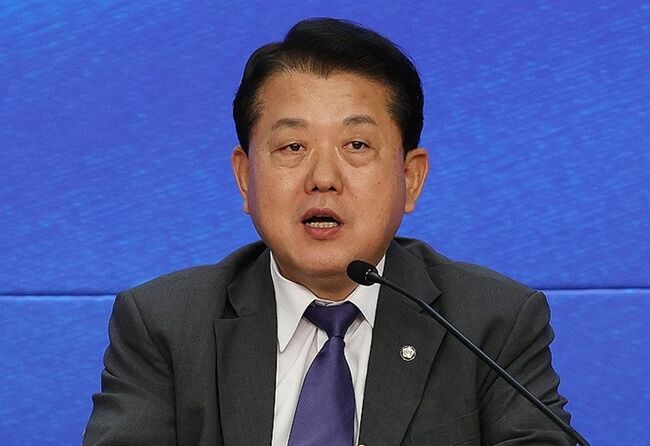 [Park Pil-kyu Security Column] To the Ignorant Trying to Clothe a Beast in Sheep's Clothing
Rep. Kim Byung-joo of the Democratic Party of Korea [Photo=Yonhap News]“The Air Force Academy doesn't teach you how to fly a plane!” “The Army, Navy, and Air Force academies are exactly the
[Park Pil-kyu Security Column] To the Ignorant Trying to Clothe a Beast in Sheep's Clothing
Rep. Kim Byung-joo of the Democratic Party of Korea [Photo=Yonhap News]“The Air Force Academy doesn't teach you how to fly a plane!” “The Army, Navy, and Air Force academies are exactly the
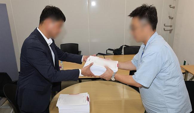 [Issue Diagnosis] Two Effects of the Election Petition Review
 [Photo] Evidence of Election Fraud Flooding U.S. Media… Trump Had 2.7 Million Votes Stolen
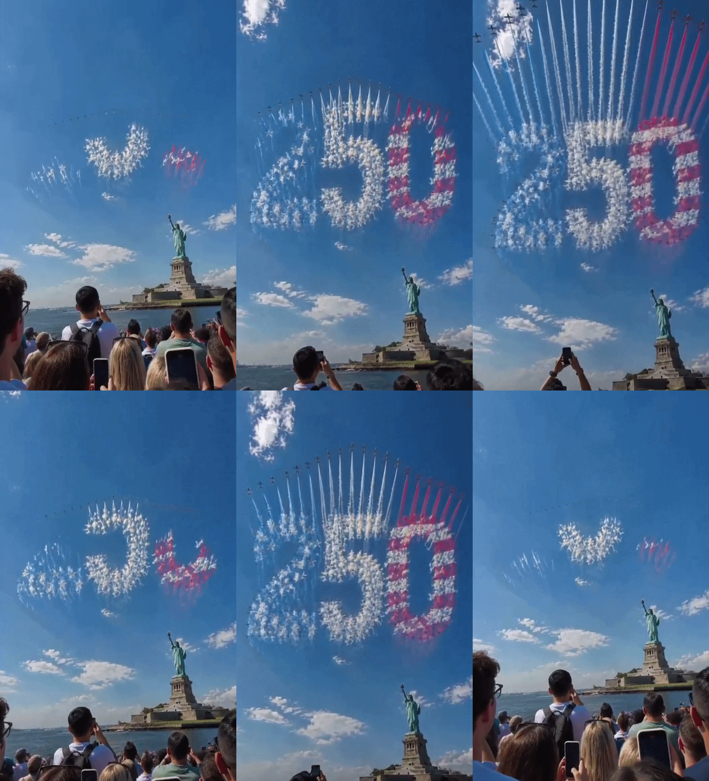 [Video] U.S. Semiquincentennial Air Show... 'Art in the Sky' streaks across New York
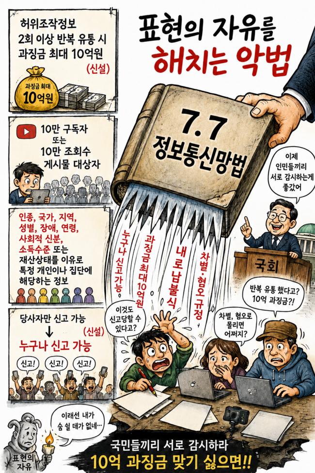 [Editorial Cartoon] A Draconian Law That Undermines Freedom of Expression

 List
List