Cold Snap Expected Early Next Week... "Cold Wave Advisory" Possible for Gangwon Mountains
Cold air inflow from the north... Mornings from the 27th-29th to range from 0-11°C
Rain to Continue in Gangwon Yeongdong & East Coast Through Weekend... Yeongdong's Rainfall Days This Month Are the Most on Record
 Citizens Dressed in Warm Clothing (Seoul=Yonhap News) Reporter Ryu Yeong-seok = Citizens walk in warm clothing at Gwanghwamun Square in Seoul on the 22nd, as chilly morning weather continues. 2025.10.22 ondol@yna.co.kr
A "cold snap" is forecast for early next week.
According to the Korea Meteorological Administration on the 23rd, cold air from the north will re-enter the Korean Peninsula as a continental high-pressure system expands from the northwest starting Sunday, the 26th.
Consequently, a strong cold snap with biting winds is expected on Monday, the 27th, and Tuesday, the 28th of next week.
A "Cold Wave Advisory" may be issued for the mountainous regions of Gangwon Province.
A Cold Wave Advisory is issued from October to April when "the morning low temperature drops by more than 10°C from the previous day, falls below 3°C, and is expected to be 3°C lower than the average temperature."
From the 27th to the 29th, morning temperatures nationwide are expected to range from 0-11°C, and daytime temperatures from 10-19°C.
Morning temperatures in inland central regions and high mountains in southern provinces will hover around 0°C.
The coldest period in early next week is anticipated to be the morning of the 28th, when cold air will have fully infiltrated and radiative cooling will be exacerbated overnight. On this day, the lowest temperature in Chuncheon, Gangwon, will be 0°C, Seoul and Suwon in Gyeonggi Province 2°C, Daejeon 3°C, Daegu 4°C, Ulsan 5°C, Gwangju 6°C, and Busan 7°C.
Temperatures are expected to return to average levels again by the end of next week.
Meanwhile, rain will continue in Gangwon Yeongdong and along the East Coast through the weekend.
This is because a high-pressure system currently located in northeastern China is slowly moving eastward, causing continuous easterly winds along its periphery. The cold easterly winds are passing over the East Sea, where sea surface temperatures are relatively warm at around 20°C, creating rain clouds.
On the 23rd, rain is expected in parts of Gangwon Yeongdong and the Gyeongbuk East Coast. On the 24th, rain will continue in Gangwon Yeongdong, with occasional rain expected along the Gyeongbuk East Coast, Busan, and Ulsan from morning to afternoon.
Subsequently, occasional rain will fall in the northern parts of Gangwon Yeongdong until the dawn of the 25th.
The estimated precipitation amounts are: Gangwon Yeongdong 20-80 mm (over 100 mm in the northern region), Ulleungdo and Dokdo 10-50 mm, the northern mountainous regions of Gyeongbuk 5-20 mm, Busan and Ulsan around 5 mm, and Jeju less than 5 mm.
Gangwon Yeongdong, which suffered from severe drought until last month, has been experiencing record-breaking rainfall this month.
As of the 22nd of this month, there have been 19 days of rain in Gangwon Yeongdong, the highest number of rainy days for the same period since 1973, when meteorological observation networks were expanded nationwide and became the standard for all weather records. This is 7.5 days more than the second-highest record (1986, 11.5 days). Yonhap News

 Trump pressures for rate cut again ahead of FOMC... "Should be the lowest in the world"
U.S. President Donald Trump. [Photo = The White House] U.S. President Donald Trump once again pressured the Federal Reserve, the U.S. central bank, to lower interest rates on the 27th (local time
Trump pressures for rate cut again ahead of FOMC... "Should be the lowest in the world"
U.S. President Donald Trump. [Photo = The White House] U.S. President Donald Trump once again pressured the Federal Reserve, the U.S. central bank, to lower interest rates on the 27th (local time
 “Ignoring crisp ballots and damaged seals”… Tongyeong mayoral recount concludes with ‘no change in outcome,’ leaving suspicions and public outrage behind
Suspected counterfeit ballots discovered in Tongyeong [GIF from social media of Representative Hwang Kyo-ahn / Attorney Park Joo-hyun]During a recount of the Tongyeong mayoral election in South Gyeong
“Ignoring crisp ballots and damaged seals”… Tongyeong mayoral recount concludes with ‘no change in outcome,’ leaving suspicions and public outrage behind
Suspected counterfeit ballots discovered in Tongyeong [GIF from social media of Representative Hwang Kyo-ahn / Attorney Park Joo-hyun]During a recount of the Tongyeong mayoral election in South Gyeong
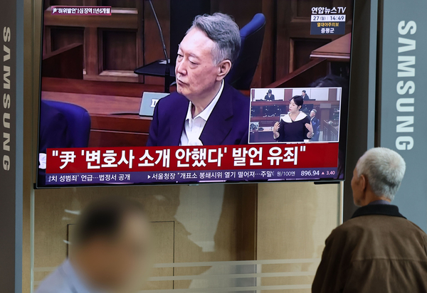 President Yoon, regarding the first-instance ruling on the Public Official Election Act: “An excessive political verdict that distorts the facts… We will appeal immediately.”
The first-instance sentencing hearing for President Yoon Suk Yeol regarding violations of the Public Official Election Act is being broadcast live at Seoul Station on the 27th. [Photo=Yonhap News]Pres
President Yoon, regarding the first-instance ruling on the Public Official Election Act: “An excessive political verdict that distorts the facts… We will appeal immediately.”
The first-instance sentencing hearing for President Yoon Suk Yeol regarding violations of the Public Official Election Act is being broadcast live at Seoul Station on the 27th. [Photo=Yonhap News]Pres
 WSJ: "SK Hynix ADR Premium Is a Sign of AI Trading Overheat"
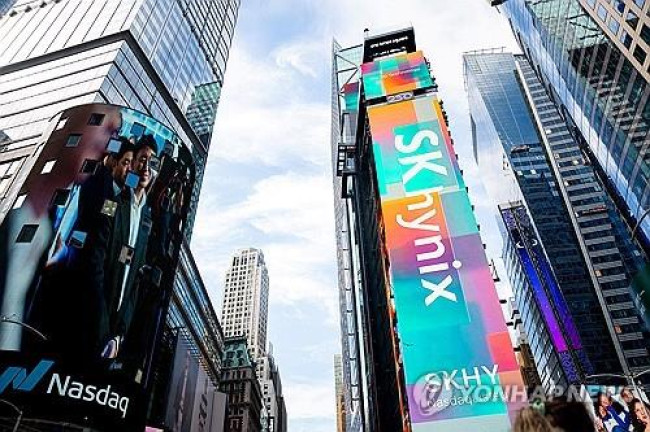
Advertisement for SK Hynix ADR listing in New York's Times Square [Reuters=Yonhap News file photo]The Wall Street Journal (WSJ) has pointed out that the price of SK Hynix’s American Depositary Recei
WSJ: "SK Hynix ADR Premium Is a Sign of AI Trading Overheat"
Advertisement for SK Hynix ADR listing in New York's Times Square [Reuters=Yonhap News file photo]The Wall Street Journal (WSJ) has pointed out that the price of SK Hynix’s American Depositary Recei
 'Godfather of Japanese Mystery Novels' Keigo Higashino Passes Away After Battle with Cancer at 68
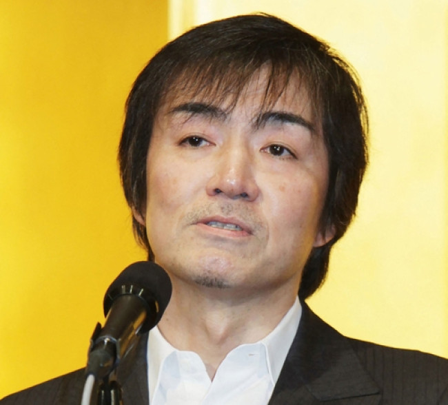
Famous Japanese mystery novelist Keigo Higashino [AFP=Yonhap News]It has been belatedly reported that Keigo Higashino, the "godfather of Japanese mystery novels" and author of bestsellers such as "The
'Godfather of Japanese Mystery Novels' Keigo Higashino Passes Away After Battle with Cancer at 68
Famous Japanese mystery novelist Keigo Higashino [AFP=Yonhap News]It has been belatedly reported that Keigo Higashino, the "godfather of Japanese mystery novels" and author of bestsellers such as "The
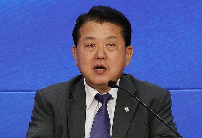 [Park Pil-kyu Security Column] To the Ignorant Trying to Clothe a Beast in Sheep's Clothing
Rep. Kim Byung-joo of the Democratic Party of Korea [Photo=Yonhap News]“The Air Force Academy doesn't teach you how to fly a plane!” “The Army, Navy, and Air Force academies are exactly the
[Park Pil-kyu Security Column] To the Ignorant Trying to Clothe a Beast in Sheep's Clothing
Rep. Kim Byung-joo of the Democratic Party of Korea [Photo=Yonhap News]“The Air Force Academy doesn't teach you how to fly a plane!” “The Army, Navy, and Air Force academies are exactly the
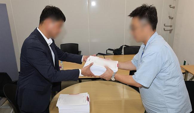 [Issue Diagnosis] Two Effects of the Election Petition Review
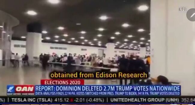 [Photo] Evidence of Election Fraud Flooding U.S. Media… Trump Had 2.7 Million Votes Stolen
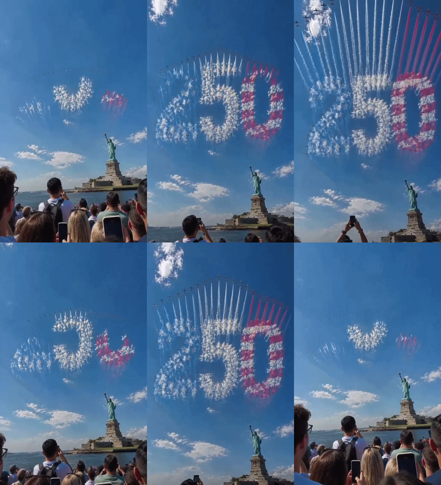 [Video] U.S. Semiquincentennial Air Show... 'Art in the Sky' streaks across New York
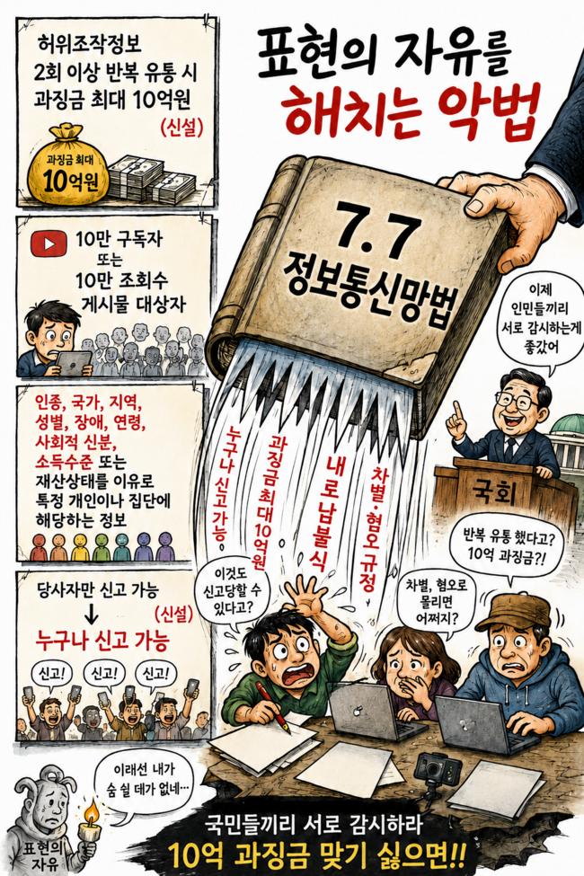 [Editorial Cartoon] A Draconian Law That Undermines Freedom of Expression

 List
List